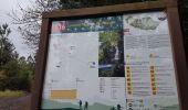
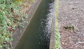
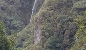
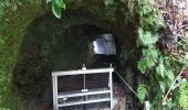
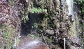
Trail Walking São Vicente - Levada da Faja do Rodrigues (Rother n°32) - Photo

Levada da Faja do Rodrigues (Rother n°32)

 Bart2015
Bart2015

User

© OpenStreetMap contributors
Length
Length
9.1 km
Max alt
Max alt
1077 m
Uphill gradient
Uphill gradient
1251 m
Km-Effort
Km-Effort  
26 km
Min alt
Min alt
550 m
Downhill gradient
Downhill gradient
1263 m
Boucle
Boucle
Yes
Creation date :
2022-03-27 11:28:22.29
Updated on :
2022-05-01 11:58:39.267

(0 Reviews)

Walking
Walking
2h52
Difficulty : Medium

Scan this QR Code to open this trail in the SityTrail application

FREE GPS app for hiking

Logo SityTrail SityTrail
IGN / Geographical institutes

Download SityTrail from the App Store Download SityTrail from Google Play

Logo SityTrail SityTrail Plus

The world is yours!

Download SityTrail from the App Store Download SityTrail from Google Play Download SityTrail on Huawei AppGallery

About

Trail Walking of 9.1 km to be discovered at Madeira, Unknown, São Vicente. This trail is proposed by Bart2015.

Description

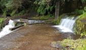
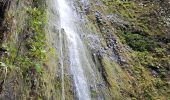
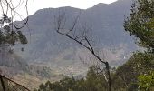
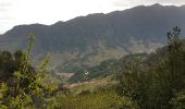
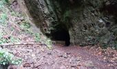
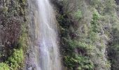
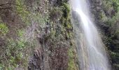
Très belle randonnée qui longe le levada da Faja do Rodrigues. C'est parti pour l'aventure dans une végétation qui donne l'ambiance ... Elle emprunte de nombreux longs tunnels dont un de plus d'un kilomètre et les chaussures hautes et la frontale sont indispensables. Il est même parfois très difficile de se croiser surtout dans le dernier ... Les cascades sont magnifiques ...
Bonne rando ...

Elevation profile

Photos

29 photos in total. Please click on a photo to see them all in the gallery.

Positioning

Country:
Portugal
Region :
Madeira
Department/Province :
Unknown
Municipality :
São Vicente
Location:
Unknown
Start:(UTM)
308178 ; 3628730 (28S) N.


Close
My subscriptions